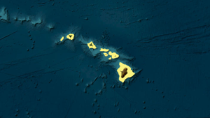
Hurricane Iona has started to weaken rapidly as it moves westward, well south of Hawaii.
Meanwhile, Tropical Storm Keli is hanging on in intensity as a weak tropical storm to the southeast of the state.
In data valid at 11 p.m. Tuesday, the National Hurricane Center said Hurricane Iona was about 690 miles south of Honolulu and was moving to the west at 17 miles per hour.
Iona’s maximum sustained winds have decreased to 105 miles per hour with higher gusts.
Hurricane force winds extend 20 miles from the center, while tropical storm force winds extend 90 miles from the center.
The National Hurricane Center said Iona is expected to weaken rapidly into Wednesday as it moves into strong westerly wind shear and cooler sea surface temperatures.
Iona is then forecast to maintain intensity Thursday and Friday as it moves over warmer sea surface temperatures, and then resume weakening after that.

Get more info from the First Alert Hurricane Center
Meanwhile, data valid as of 11 p.m. Tuesday showed Tropical Storm Keli about 605 miles south-southeast of Honolulu and rapidly moving west at 21 miles per hour, closely following the track of Iona.
Keli had maximum sustained winds of 40 miles per hour with higher gusts.
Keli is forecast to weaken into a tropical depression by late Wednesday before dissipating Thursday.
Again, the current forecast tracking keeps both systems well south of Hawaii.


